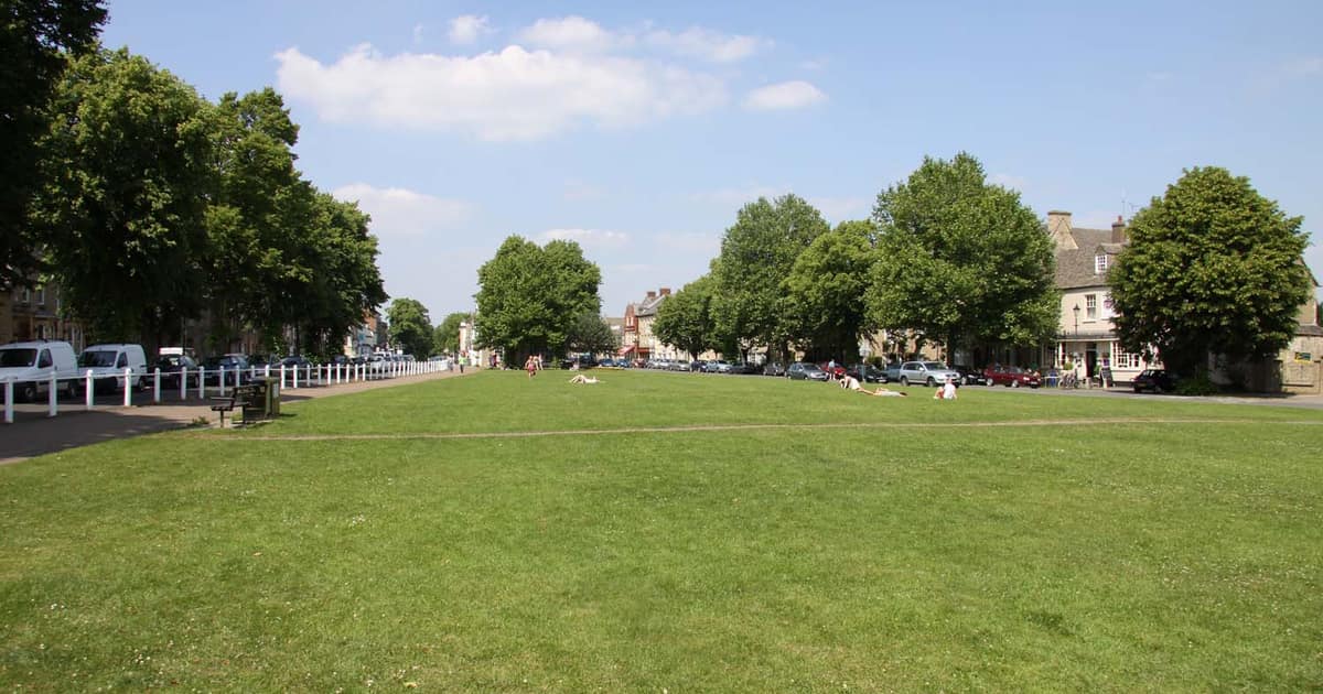
Photo: Steve Daniels, CC BY-SA 2.0, via Wikimedia Commons.

Start with a map rather than a building. Get one old map of the town and one modern one, mark where the street plan has stayed the same, and then choose four to eight stops that sit on or near those streets. Walk it once alone before you take anyone else. Almost every good town walk comes down to those three moves, and none of them requires a guidebook.
What follows is the method we suggest, with Witney in Oxfordshire as the running example because the Victoria County History has written up its plan in unusual detail.
Get the old map first
The National Archives' guide to maps and plans is a good starting point because it sets out what kinds of map exist and who holds them. For a local area it advises beginning with county and metropolitan archives rather than Kew, and it notes that only a small minority of the original maps at Kew are online.
Three kinds of map will do most of the work:
- Ordnance Survey maps. The guide points readers to digital copies of old OS maps on the National Library of Scotland's website and to commercial sites.
- Tithe maps. Made after the 1836 Act, these are often older than the earliest Ordnance Survey maps and show numbered plots. We explain them further in our guide to house history records.
- Enclosure maps. Most date from about 1800 to about 1850 and can show roads, rights of way and boundaries, which is useful on the edge of a town.
Lay the old map beside a current one. Anything that lines up on both is probably old, and that is the skeleton of your route.
Find the plan under the shops
Many English market towns were deliberately laid out, and the layout tends to outlast the buildings. Witney is a clear case. According to the Victoria County History account, a bishop of Winchester probably planned the town in the late 12th or early 13th century, and it was a borough by 1208. Its first phase was a large wedge-shaped market place running north from the church, with burgage plots down both sides.
A burgage plot is the long, narrow strip of land held by a townsperson, with the house or shop on the street end. The width of the frontage often survives long after the original building has gone, which is why a modern high street can still keep a medieval rhythm.
The sizes could be precise. In Burton-upon-Trent, a charter of 1200 set new plots on Horninglow Street at 24 perches long by 4 wide, and the county history works that out at about 396 feet by 66 feet. Plots of about that size still appear on 18th and 19th century maps of the town. They were subdivided early, too: by 1317 many burgages there had been split.
So when you stand on a high street, count the frontages. A row of narrow shops in similar widths, or a wide building with two or three equal bays of different date, may be telling you about plots that were joined or divided centuries ago. Treat that as a question to check on the map rather than a conclusion.
Follow the alleys behind
The strip behind the frontage is where the later story sits. In Witney, infilling behind the street fronts was under way by the late 17th century, and cottage yards were common by the 18th. The town had few back lanes, so rear buildings were usually reached through narrow alleys, known locally as turries, or through carriage entries.
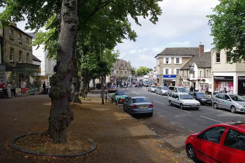
Photo: P L Chadwick, CC BY-SA 2.0, via Wikimedia Commons.

Most towns have an equivalent. Tewkesbury's history, for example, mentions side passages that later gave access to houses in back courts or alleys. Check that an alley is a public way before you put it on your route. Plenty of them now lead only to somebody's back door.
Choose stops that each do a job
A walk fails when every stop is the same kind of thing. Try to give each one a separate purpose: one that shows the plan, one where the front of a building hides something older (here is how to spot that), one with a plaque, one with a good pair of blocked windows if you can find them (and how to judge them).
A paper version of a Witney route, drawn only from the county history, might look like this. We offer it as a pattern, so check it on the ground and against the current street layout before you rely on it.
| Stop | What it shows |
|---|---|
| Church Green | The head of the planned core, and the setting of the church |
| Nos. 3 and 5 Church Green | Remains of early 16th century stone dwellings |
| The Butter Cross | Encroachment on the market place, dated after 1606 |
| High Street frontages | Plot widths, which ran at about 30 to 40 feet in the 16th century |
| An alley off the High Street | Access to the infilled land behind |
| Bridge Street | The later addition north of the river, around 1219 to 1220 |
Walk it, then cut it
Do the route once on your own with a notebook and a watch. You will find that one stop is a dull wall with a lot of traffic, and that the best thing on the route is a detail you had not planned. Cut the first and add the second. Also note where people can stand safely as a group, where there are steps, and where a seat or toilet can be found.
Before you state a date on the walk, look up the building. The listing entry is a useful check on a building's age and alterations.
Get inside when you can
Timing can add a lot. Heritage Open Days takes place every September and describes itself as England's largest festival of history and culture, with free events organised by thousands of volunteers. At the time of writing its site gives the next festival as 10 to 19 September 2027. Check its listings for your town, because that is often the one week when you can see the inside of a building you have only ever walked past.
2Next stopHow old is this building?