A walk in six stops
Read the street you are standing in
Old towns keep their records in plain sight, in the width of a shopfront, the pattern of a brick wall or a window filled in two centuries ago.
Cobbleway is a small independent magazine about how to read them, and how to check what you think you have seen against maps, archives and lists. Follow the route below in order, or join it wherever you like.
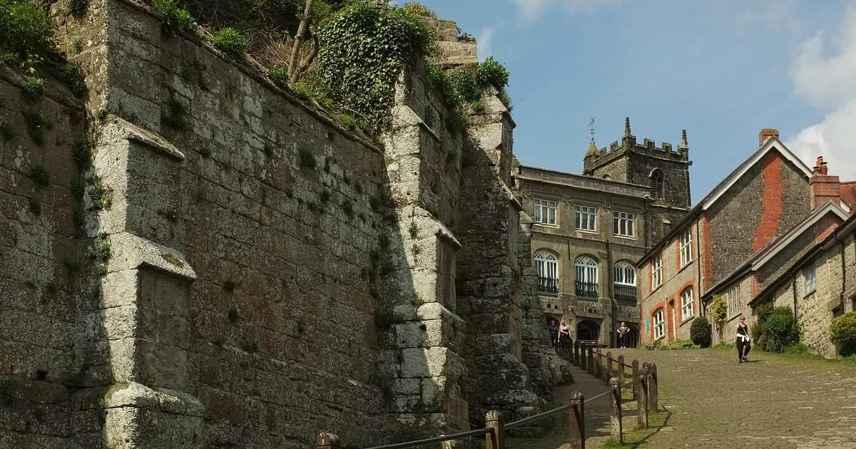
Photo: Derek Harper, CC BY-SA 2.0, via Wikimedia Commons.

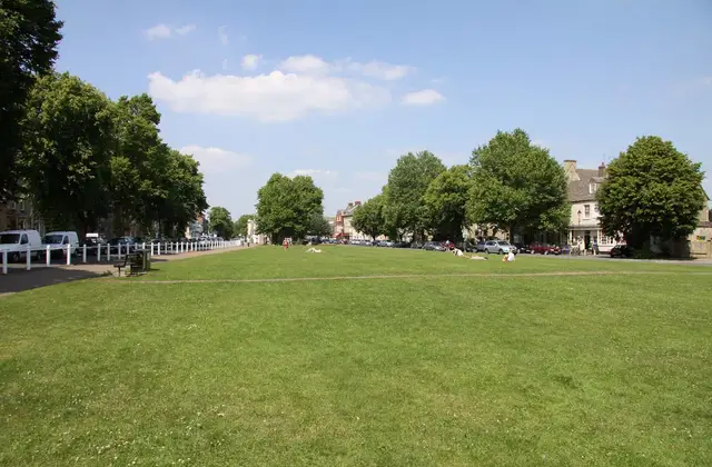
Photo: Steve Daniels, CC BY-SA 2.0, via Wikimedia Commons.
How to plan your own town history walk
A self-guided route needs an old map, a sense of the medieval plan and a short list of stops you have checked on foot.
Look out forA wedge-shaped market place, and long narrow plots running back from the street.
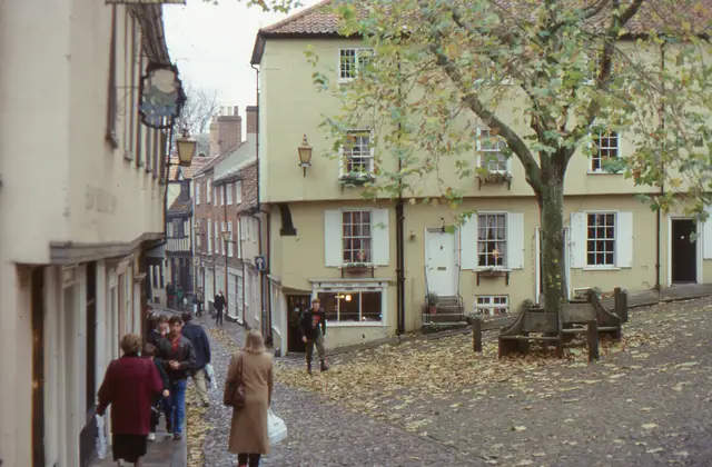
Photo: Christopher Hilton, CC BY-SA 2.0, via Wikimedia Commons.
How to tell how old a building is from the street
Brick bonds, window panes and date stones will give you a rough period from the pavement. They will not give you a year.
Look out forRows of short and long bricks. Thick old mortar joints. Panes that ripple.
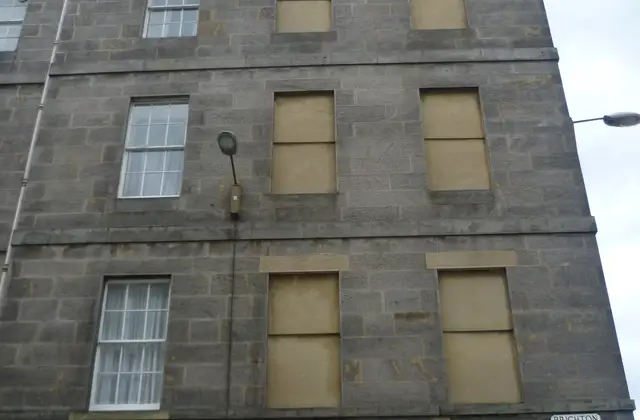
Photo: Kim Traynor, CC BY-SA 3.0, via Wikimedia Commons.
Are bricked-up windows really from the window tax?
Some were, and many were not. How the tax worked between 1696 and 1851, and how to judge a blank window for yourself.
Look out forMatching sills and lintels, a recessed panel, and whether the brick differs from the wall.
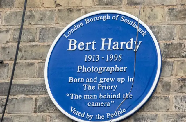
Photo: Christine Matthews, CC BY-SA 2.0, via Wikimedia Commons.
Who gets a blue plaque, and who decides?
London's official scheme has strict rules: 20 years dead, a surviving building, and a long wait. Plenty of round plaques follow none of them.
Look out forWho put the plaque up. The issuer's name is usually round the rim.
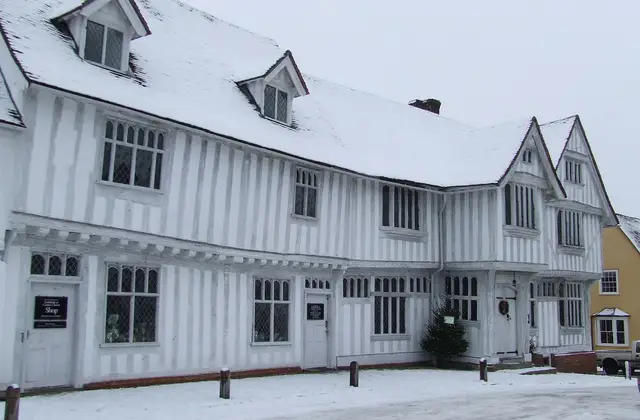
Photo: Keith Evans, CC BY-SA 2.0, via Wikimedia Commons.
Listed building grades: what I, II* and II mean
Grades show relative importance. They do not change what is protected, and a listing nearly always covers the inside as well.
Look out forA grade on the list entry, then a date. Check it against the building in front of you.
Map: Cotterells & Cooper, Surveyors, Bath, Somerset, public domain via Wikimedia Commons.
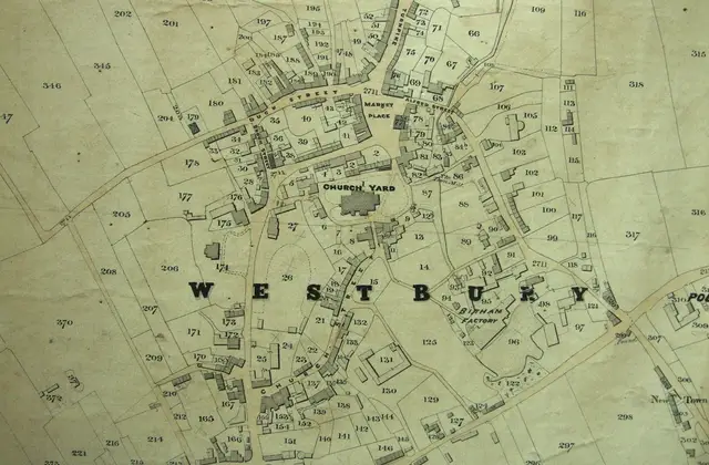
How to research the history of your house
Start at the local archive, then work backwards: the 1939 Register, the census, the 1910 valuation and tithe maps.
Look out forThe numbered plot on a tithe map, then its entry in the apportionment.


Add a stop of your own
Know a town, a record series or a building trick that other people should hear about? We take guest articles from walkers, archivists, conservators and local historians. Read how to pitch, or find out who we are.